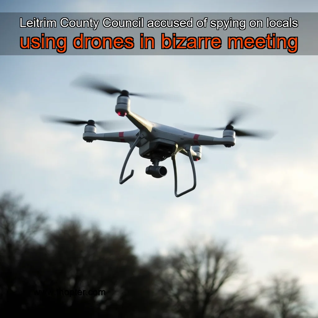
The Allegations
The allegations of “spying” on locals have sparked a heated debate in Leitrim County Council. The controversy began when Cllr Des Guckian proposed a motion to condemn the taking of drone footage by council staff. The motion, which was put to a vote, was met with opposition from some council members who argued that the footage was necessary for the council’s work. The motion was passed with a majority vote, with 11 council members voting in favor and 5 against. The council’s decision to condemn the taking of drone footage was seen as a victory for local residents who felt that their privacy was being invaded.*
The Council’s Response
The council has responded to the allegations by stating that the drone footage was taken for legitimate purposes, such as monitoring the council’s assets and infrastructure. The council has also stated that the footage was not used for any malicious or invasive purposes. The council has assured residents that the footage will be used for the benefit of the community, and that it will be stored securely.
He expressed his concerns about the use of drones in the area, citing the potential risks to the environment and wildlife. He also expressed his concerns about the lack of transparency and communication from the Council regarding the use of drones.
The Concerns of Cllr Guckian
Cllr Guckian’s concerns about the use of drones in the area are multifaceted. He expressed his worries about the potential risks to the environment and wildlife, citing the possibility of drones causing disturbance to the natural habitats of local species. He also highlighted the lack of transparency and communication from the Council regarding the use of drones, which he believes is a breach of the public’s right to know. Key concerns: + Potential risks to the environment and wildlife + Lack of transparency and communication from the Council
The Hydrological Survey
According to Cllr Guckian, the drones were being used for a Hydrological survey, which aims to study the water flow and quality in the area. This survey is crucial for understanding the impact of human activities on the environment and for developing strategies to mitigate any negative effects. Purpose of the Hydrological survey: + Study water flow and quality + Understand the impact of human activities on the environment + Develop strategies to mitigate negative effects
The Council’s Response
The Council officials informed Cllr Guckian that the use of drones was necessary for the Hydrological survey, but they did not provide any further information about the survey or the Council’s plans for the area.
The survey aimed to map the catchment area’s topography, including the location of water bodies, land use, and other features.
Introduction
The use of drone technology in topographical surveys has gained significant attention in recent years due to its efficiency, accuracy, and cost-effectiveness. In Ireland, the Irish Aviation Authority has licensed several geospatial consultancies, including Murphy Geospatial, to conduct aerial surveys using drones. One such project involved a topographical survey of the Lough Rynn catchment area, which required the use of drone technology to map the catchment’s topography, including the location of water bodies, land use, and other features.
The Survey Methodology
The survey was conducted using a combination of drone technology and traditional surveying methods. The drones were equipped with high-resolution cameras and sensors that captured detailed images and data on the catchment area’s topography.
news is a contributor at Thopter. We are committed to providing well-researched, accurate, and valuable content to our readers.