Pix4D and Freefly Systems to deliver drone to data workflow

Artistic representation for Pix4D and Freefly Systems to deliver drone to data workflow

Freefly Systems and Pix4D Partnership

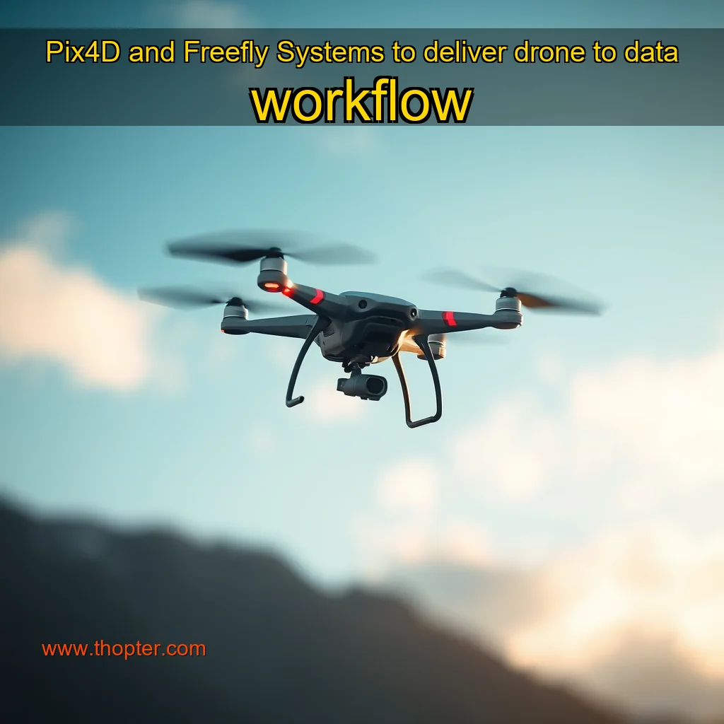
Pix4D, a leading provider of photogrammetry software, has partnered with Freefly Systems, a renowned manufacturer of high-end camera systems, to offer a unique benefit to customers purchasing eligible Freefly drones. This partnership aims to enhance the overall workflow and efficiency of drone-based photogrammetry projects.

Key Benefits of the Partnership

  • Streamlined workflow: The partnership allows customers to access Pix4Dmatic and Pix4Dsurvey, two powerful tools that simplify the process of creating photogrammetry models and orthomosaics from drone data. Increased productivity: With Pix4Dmatic and Pix4Dsurvey, customers can automate tasks, reduce manual effort, and focus on more complex aspects of their projects. Improved accuracy: The partnership enables customers to leverage the advanced features of Pix4Dmatic and Pix4Dsurvey to improve the accuracy of their photogrammetry models and orthomosaics. ### How the Partnership Works**
  • How the Partnership Works

    To take advantage of the partnership, customers purchasing eligible Freefly drones will receive a one-year license for Pix4Dmatic and Pix4Dsurvey. This license allows customers to access the full range of features and tools provided by Pix4D, enabling them to unlock the full potential of their drone-based photogrammetry projects.

    Eligibility and Licensing

  • Eligible drones: Freefly Systems drones that are compatible with Pix4D software are eligible for the partnership. License duration: The one-year license provided by Pix4D is valid for the duration of the partnership.

    The software is designed to handle massive amounts of data, making it an ideal choice for industries that require high accuracy and reliability.

    Introduction

    Pix4D is a leading provider of photogrammetry software, renowned for its ability to process large datasets and generate high-quality survey-grade deliverables. With its cutting-edge technology, Pix4D has become the go-to solution for various industries, including construction, surveying, and mapping.

    Introduction

    The world of drone technology has seen significant advancements in recent years, with various companies pushing the boundaries of what is possible with these aerial devices. One such company is Freefly Systems, a US-based company that designs and builds drones, gimbals, and cameras for a range of industries. In this article, we will explore the features and benefits of the Pix4D software, which is available at no extra cost to Freefly drone customers.

    What is Pix4D Software? Pix4D is a software solution that enables users to create high-quality 3D models and maps from aerial photography. It is designed to be user-friendly and accessible to a wide range of users, from professionals to hobbyists.

    news

    news is a contributor at Thopter. We are committed to providing well-researched, accurate, and valuable content to our readers.

    You May Also Like

    Artistic representation for Amid poverty , Ebonyi spends over N53bn on airport project , runway repairs, and more This is a headline for an article about Ebonyi state.

    Amid poverty , Ebonyi spends over N53bn on airport project , runway repairs, and more This is a headline for an article about Ebonyi state.

    The establishment of the Muhammadu Buhari (now Chuba Okadigbo) International Airport, located in Onueke in the Ezza South Local Government...

    Artistic representation for Russians attack 12 communities in Sumy Oblast : over 300 explosions recorded person killed

    Russians attack 12 communities in Sumy Oblast : over 300 explosions recorded person killed

    The Situation in Sumy OblastThe situation in Sumy Oblast, a region in northeastern Ukraine, has been marked by intense conflict...

    Artistic representation for Pentagon Acquires AI Powered Indoor Strike Drones

    Pentagon Acquires AI Powered Indoor Strike Drones

    Precision Strike Drone Contract: The US Department of Defense has announced a new contract with XTEND, a company specializing in...

    Artistic representation for ZenaTech Inc : ZenaTech Acquires KJM Land Surveying LLC a Second Acquisition to Accelerate Drone Innovation in Land Surveys and Establish a Southeast Base for its Drone as a Service Business

    ZenaTech Inc : ZenaTech Acquires KJM Land Surveying LLC a Second Acquisition to Accelerate Drone Innovation in Land Surveys and Establish a Southeast Base for its Drone as a Service Business

    ZenaTech Expands Capabilities with Strategic Acquisition of KJM Land Surveying LLC. The Acquisition and Its SignificanceThe acquisition of KJM Land...

  • About news

    Expert in general with years of experience helping people achieve their goals.

    View all posts by news →

    Leave a Reply

    About | Contact | Privacy Policy | Terms of Service | Disclaimer | Cookie Policy
    © 2026 Thopter. All rights reserved.