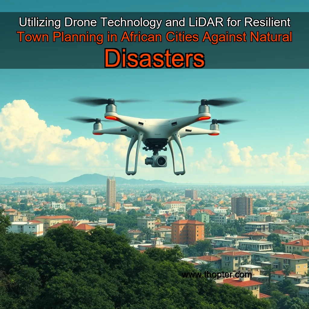
The Role of Drone Technology in Urban Planning
Drone technology has revolutionized the way urban planners design and manage cities. Equipped with high-resolution cameras and sensors, drones can capture detailed images and data on urban infrastructure, including buildings, roads, and bridges. This information can be used to identify areas of high risk and develop strategies to mitigate these risks. Key benefits of drone technology in urban planning: + High-resolution imaging and data collection + Ability to capture detailed information on urban infrastructure + Cost-effective and efficient data collection + Real-time monitoring and analysis
The Role of LiDAR in Urban Planning
LiDAR (Light Detection and Ranging) technology uses laser light to create high-resolution 3D models of urban environments. This technology is particularly useful for assessing flood risk, identifying areas of high erosion, and monitoring urban infrastructure. Key benefits of LiDAR in urban planning: + High-resolution 3D models of urban environments + Ability to assess flood risk and identify areas of high erosion + Monitoring of urban infrastructure + Cost-effective and efficient data collection
Building Resilience through Data-Driven Decision Making
The use of drone technology and LiDAR in urban planning enables cities to make data-driven decisions that can help build resilience.
Cities face unprecedented challenges due to rapid growth and limited resources, exacerbating the effects of climate change.
Understanding the Challenges of Climate Change in African Cities
Climate change is a pressing global issue that affects urban areas disproportionately. African cities, in particular, are facing unprecedented challenges due to their rapid growth and limited resources. The consequences of climate change in these cities are far-reaching, impacting not only the environment but also the well-being of their inhabitants.
Infrastructure and Resource Constraints
African cities often struggle with inadequate infrastructure, including inadequate water supply systems, poor waste management, and insufficient energy generation. These constraints exacerbate the effects of climate change, making it difficult for cities to adapt to and mitigate its impacts. Inadequate water supply systems can lead to water scarcity, affecting both human consumption and agricultural production. Poor waste management contributes to the spread of diseases and pollution, further compromising the health and well-being of urban residents.
However, the use of drones in this context raises several ethical concerns.
The Rise of Drones in Flood Risk Management
In recent years, drones equipped with LiDAR (Light Detection and Ranging) technology have become increasingly popular in various fields, including disaster response and environmental monitoring. One of the most significant applications of drones in this context is in flood risk management. These unmanned aerial vehicles (UAVs) can fly over flooded areas, gather data on water levels, and create detailed maps of the affected regions.
Benefits of Drones in Flood Risk Management
Regular monitoring can help identify potential environmental issues before they become major problems.
The Power of LiDAR Technology in Urban Planning
LiDAR technology has revolutionized the way cities are planned and managed. By providing high-resolution elevation data, LiDAR enables urban planners to create detailed 3D models of the cityscape, allowing for more accurate assessments of urban growth and development.
Benefits of LiDAR Technology
Urban planning gets a boost from drone tech and LiDAR.
In Nairobi, Kenya, LiDAR was used to create a 3D model of the city’s infrastructure, enabling more efficient urban planning and development.
The Rise of Drone Technology and LiDAR in Urban Planning
A New Era of Efficiency and Accuracy
The integration of drone technology and LiDAR (Light Detection and Ranging) in urban planning has revolutionized the way cities are designed, developed, and managed. These cutting-edge technologies have been successfully implemented in several African cities, yielding impressive results and transforming the urban landscape.
Benefits of Drone Technology and LiDAR
The Rise of Drone Technology in Tanzania
Tanzania has witnessed a significant increase in the adoption of drone technology in recent years. The country has leveraged this technology to address various challenges, including environmental conservation, infrastructure development, and disaster management. The use of drones has become an integral part of the country’s development strategy, and its impact is being felt across different sectors.
Environmental Conservation
Drones have played a crucial role in Tanzania’s environmental conservation efforts. The country has used drones to monitor wildlife populations, track deforestation, and detect poaching activities.
The Rise of Drone Technology in Town Planning
The integration of drone technology and LiDAR (Light Detection and Ranging) in town planning is a relatively new and rapidly evolving field. This innovative approach is gaining traction worldwide, with many cities and municipalities already embracing its potential.
This innovative approach combines the benefits of drones and LiDAR to create a comprehensive and accurate picture of urban infrastructure, enabling cities to make informed decisions about urban planning and development.
The Rise of Drone Technology in Town Planning
In recent years, drone technology has revolutionized the way cities approach urban planning and development. Equipped with high-resolution cameras and sensors, drones can capture detailed images and data on urban infrastructure, including roads, buildings, and public spaces. This information can be used to identify areas of need, track changes over time, and monitor the effectiveness of urban planning initiatives. Key benefits of drone technology in town planning include:
The Role of LiDAR in Urban Planning
Light Detection and Ranging (LiDAR) technology is a crucial component of drone technology in town planning. LiDAR uses laser pulses to create high-resolution 3D models of urban infrastructure, providing detailed information on topography, vegetation, and other environmental factors.
news is a contributor at Thopter. We are committed to providing well-researched, accurate, and valuable content to our readers.