Uncovering the Hidden Rubbish Near Priest’s Hole
The Lake District has been at the forefront of innovation in search and rescue operations, with the introduction of cutting-edge technology like MRMap, a not-for-profit organisation that utilizes drones to aid in missing person searches and environmental monitoring.
MRMap Technology: More Than Just a Search Tool
MRMap technology is an automated drone search system that provides real-time GPS positioning and tracking capabilities. It is not limited to search and rescue operations alone; it also supports environmental monitoring and conservation efforts. The technology has been developed by mountain rescue teams across the UK and Ireland, with the primary goal of supporting fellow volunteers in their search and rescue efforts.
- MRMap technology is designed to track rescue teams during call-outs and training exercises, allowing them to optimize their routes and response times.
- The system provides continuous GPS positioning, enabling rescue teams to monitor their progress and locate areas of interest more efficiently.
- MRMap technology also plays a crucial role in environmental monitoring and conservation efforts, helping to track the movement of wildlife and detect potential threats to the environment.
In the case of the Priest’s Hole incident, the MRMap technology proved to be a game-changer in uncovering the hidden rubbish that was left behind. The Lake District Drone team, part of the Lake District Search and Mountain Rescue Association, was tasked with searching the area around the popular tourist attraction.
A Glimpse into the Priest’s Hole Incident
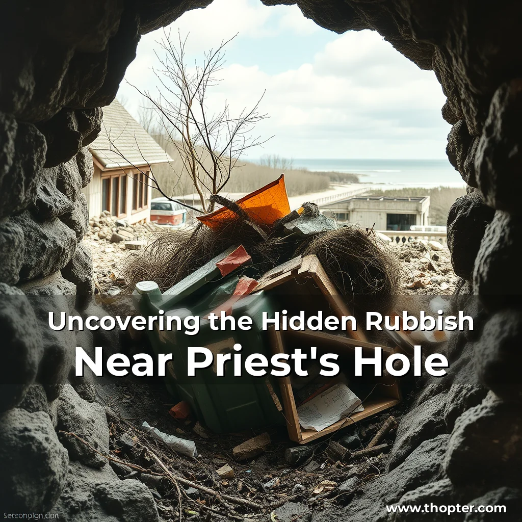
The team, consisting of pilots from across the Lake District mountain rescue teams, used the MRMap technology to scan the area and detect potential hazards. Although the missing person was not found at the Priest’s Hole location, the drone’s images revealed a significant amount of rubbish that was left behind.
“The drone provided images and locations for each item, but, while collecting these in, we found more items not seen by the drone, as they were tucked under boulders,”
said a spokesperson from the MRMap not-for-profit organisation. The team’s efforts were impressive, with two members taking it upon themselves to respond to the issue and collect the items left behind. The 113-litre sack, which was used to carry the rubbish, was filled to capacity, and the team was forced to stop collecting items due to the volume of waste.
The Human Touch
Despite the impressive capabilities of MRMap technology, it is not without its limitations. In this case, the drone’s images only provided a partial picture of the rubbish, and it was up to the human team members to search for the remaining items.
- Two members of the Duddon and Furness team took it upon themselves to respond to the issue, using their time to collect the items left behind.
- The team members worked tirelessly to fill the 113-litre sack, which was eventually filled to capacity.
- Thanks to the Sykeside Camping Park and the Brotherswater Inn for allowing the team to use their bins.
A second trip is now being planned to collect the remaining items at a later date. The spokesperson from the MRMap organisation stated: “The drone provided images and locations for each item but, while collecting these in, we found more items, not seen by the drone, as they were tucked under boulders.”
A New Standard in Search and Rescue Operations
The Priest’s Hole incident highlights the potential of MRMap technology in search and rescue operations. The use of drones in search and rescue efforts has been shown to be highly effective in uncovering hidden hazards and providing valuable insights for rescue teams.
- The MRMap technology provided a detailed map of the area, highlighting potential hazards and providing a better understanding of the environment.
- The drone’s images also revealed a significant amount of rubbish that was left behind, which would have been difficult to detect without the use of MRMap technology.
- The incident demonstrates the importance of collaboration between mountain rescue teams and the use of innovative technology to support rescue efforts.
In conclusion, the Priest’s Hole incident showcases the potential of MRMap technology in search and rescue operations. As the technology continues to evolve, it is likely that we will see even more innovative applications in the future.