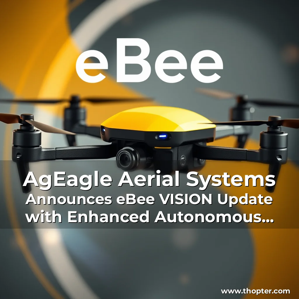
The introduction of the eBee VISION next-generation application software by AgEagle Aerial Systems Inc. marks a significant milestone in the company’s efforts to provide its customers with cutting-edge technology to overcome the challenges of GNSS (Global Navigation Satellite System) signal interference, jamming, or complete unavailability.
Autonomous Position Updates with Map Referencing
A key feature of the eBee VISION update is the capability for autonomous position updates with map referencing, which enables the drone to maintain precise navigation even in GNSS-denied areas where satellite signals are unavailable or unreliable. This feature is particularly important for defense personnel, public safety agencies, and industrial teams working in high-stakes, GNSS-denied environments.
- Operational Continuity in Denied or Degraded Environments: Enables uninterrupted drone navigation when GPS is jammed, spoofed, or blocked.
- Enhanced Mission Flexibility: Supports real-time adjustments to the drone’s perceived position using visual confirmation and mapping, empowering operators to adapt quickly in evolving environments.
- Situational Resilience: Increases overall reliability of drone-based intelligence, surveillance, and reconnaissance (ISR) operations in hostile or unpredictable conditions.
Additional Features of the eBee VISION Update
The eBee VISION update includes several additional features that enhance the overall performance and reliability of the drone.
- Optical Flow Stabilization for Target Lock: The camera uses visual cues to keep the target centered, even during long zoom-ins or drone movements.
- Adaptive Behavior After GNSS Recovery or Visual Repositioning: Seamlessly transitions after teleportation events, continuing the current task or adjusting appropriately.
- Improved Ground Detection to Prevent False Landings: Algorithms improved to reduce the risk of false “on-ground” detection during flight, ensuring better performance in low-speed or high-wind conditions.
- Improved Pitot Tube Handling at Take-Off: More reliable launches under challenging conditions, minimizing false pitot sensor errors on launch.
- Remaining Flight Time & Return-to-Home (RTH) Estimates: Better mission planning made simple with real-time energy estimates.
- Optimized Cruise Speed in Windy Conditions: The drone adapts cruise speed based on actual wind intensity, improving endurance without compromising stability.
- High-Precision Landings with STL Altitude Calibration: Using LIDAR to calibrate the landing zone’s altitude during STL ensures consistent and accurate touchdown.
- Gimbal Auto-Recovery from Obstructions: Resilient against sand and debris, with a new self-clearing mechanism attempting recovery mid-flight.
- Smart Motor Speed Reduction to Prevent Overheating: Temporarily reduces speed when motors approach overheating thresholds, preserving the drone in critical conditions.
About AgEagle Aerial Systems Inc.
AgEagle Aerial Systems Inc. is a leading provider of best-in-class unmanned aerial systems (UAS) and sensors for military, public safety, and commercial use. The company has three Centers of Excellence, where it designs and delivers flight hardware, sensors, and software solutions that solve important problems for its customers.
“The introduction of the eBee VISION update marks a significant leap forward in drone operations, especially for defense personnel, public safety agencies, and industrial teams working in high-stakes, GNSS-denied environments. We will continue to work relentlessly on refinements and ongoing advancements to ensure AgEagle remains at the forefront of UAV innovation.” – Bill Irby, CEO of AgEagle Aerial Systems Inc.
Forward-Looking Statements
Certain statements in this press release may constitute “forward-looking statements” within the meaning of the Private Securities Litigation Reform Act of 1995. All statements, other than statements of historical fact, contained in this press release are forward-looking statements.
| Phone: | 1-877-776-4345 |
| Email: | [email protected](mailto:email@ag.eagle.com) |
Contact Information
AgEagle Aerial Systems Inc. Email: [email protected](mailto:email@ag.eagle.com)
Media: [Media contact information](#)
The updated eBee VISION application software provides AgEagle customers with enhanced autonomous navigation features, including autonomous position updates with map referencing, which enables the drone to maintain precise navigation even in GNSS-denied areas. The update also includes several additional features that enhance the overall performance and reliability of the drone, including optical flow stabilization, adaptive behavior, and improved ground detection. With these advancements, AgEagle remains at the forefront of UAV innovation and is well-positioned to continue providing its customers with cutting-edge technology to overcome the challenges of GNSS signal interference, jamming, or complete unavailability.
news is a contributor at Thopter. We are committed to providing well-researched, accurate, and valuable content to our readers.