What Makes a Drone Suitable for Commercial Work?
If you’re looking for a drone to fly around and take a few cool pictures with, you’re unlikely to need a commercial drone. These drones are built for tasks beyond capturing a few photos, such as industrial inspections, precision agriculture, and mapping. They’re designed to withstand harsh environments and have specific mission sets. Commercial drones should be selected based on their specifications meeting or exceeding your needs and those of your clients. Camera quality and resolution are top priorities, as are flight times and flight range. A drone’s payload must also match its intended use. For example, if you’re conducting solar panel inspections, a thermal camera is essential. Additionally, software integration is crucial for commercial drone pilots, who often use platforms for flight planning, data processing, and real-time analytics.
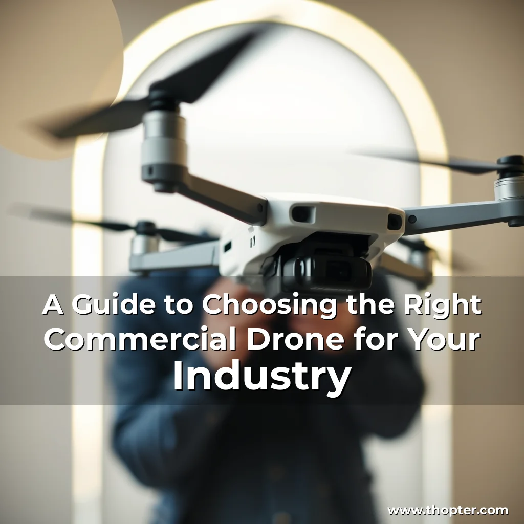
Aerial Photography and Videography: DJI Mavic 3 Pro Fly More Combo
When it comes to commercial aerial photography and videography, the DJI Mavic 3 Pro Fly More Combo is the top choice. This drone features a flagship tri-camera system, including a 4/3 CMOS Hasselblad camera, a 70-millimeter telephoto lens, and a 166 mm telephoto lens. The Mavic 3 Pro can capture stunning visuals and has a maximum flight time of 43 minutes, making it ideal for large properties. The drone’s numerous safety features, such as omnidirectional obstacle sensing, make it perfect for flying in congested areas like cities. The Fly More Combo includes additional accessories, such as two extra Intelligent Flight Batteries, a Battery Charging Hub, and an ND Filters Set.
Infrastructure and Utility Inspections: Autel Alpha
The Autel Alpha by Autel Robotics is a top choice for industrial inspections. This drone is built to withstand harsh weather conditions and can maneuver into tight spaces with ease. It features a millimeter-wave radar and dual-vision sensors for comprehensive obstacle avoidance, even in low-light conditions. The Autel Alpha also includes a 4K 35x optical zoom camera, dual thermal imaging lenses, and a laser range finder with up to 2 kilometers of detection range. It supports A-Mesh networking, allowing it to operate with multiple drones and ground stations autonomously.
Precision Agriculture: Mavic 3 Multispectral
For precision agriculture, the DJI Mavic 3M is the ideal drone. This compact aerial surveying drone integrates a 20MP RGB camera with four 5MP multispectral cameras capturing green, red, red edge, and near-infrared bands. This combination provides farmers with a wide range of crop health information. The Mavic 3M has a maximum flight time of 43 minutes and can map 200 hectares in a single flight. It also features a built-in sunlight sensor, which is essential for proper calibration of multispectral cameras. The drone supports centimeter-level positioning with its RTK module, enhancing the precision of aerial surveys.
Mapping and Surveying: DJI Matrice 300 RTK
For mapping and surveying, the DJI Matrice 300 RTK is a powerhouse of a drone. It can operate in challenging environments and has IP45-rated weather resistance. The Matrice 300 RTK can mount up to three different payloads at the same time, including RGB cameras, lidar, and thermal cameras. The drone features six-directional sensing and positioning, enhancing safety by detecting obstacles in multiple directions. With so many features and configurations, this drone can map just about anything with incredible accuracy.
Public Safety and Emergency Response: DJI Matrice 30T
The DJI Matrice 30T is a top choice for public safety and emergency response. This drone combines wide-angle, zoom, and infrared cameras, along with a laser range finder, allowing for data capture needed by first responders. The drone has an IP55 rating, a maximum flight time of 41 minutes, and an operational temperature range of -20 degrees Celsius to 50 C. The professionals I have spoken with love having the ability to analyze a developing situation with a standard RGB camera and switching to thermal when the situation demands it. FAQ
How often should I upgrade my commercial drone?
Most professionals upgrade every 2-4 years or when regulations or job requirements demand new capabilities. Can I use the same drone for both mapping and photography?
Some drones are versatile enough to do both, but specialized work often benefits from task-specific payloads. Is thermal imaging useful outside of public safety and inspections?
Yes, thermal cameras are also valuable in agriculture, wildlife monitoring, and even solar panel efficiency assessments.
news is a contributor at Thopter. We are committed to providing well-researched, accurate, and valuable content to our readers.