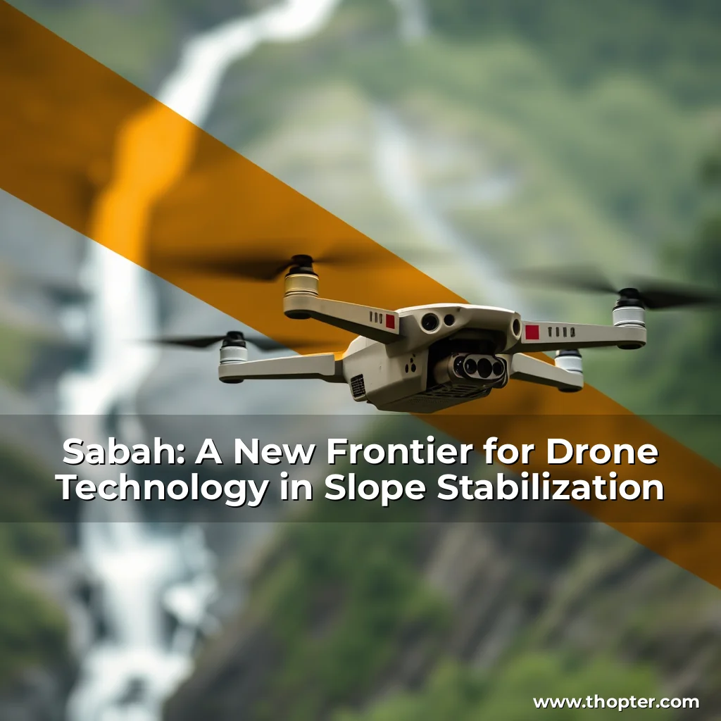
Sabah, Malaysia’s second-largest state, is known for its breathtaking landscapes, diverse wildlife, and rugged terrain. However, its picturesque beauty comes with a price: landslides and slope failures pose a significant threat to lives, infrastructure, and the environment. To combat this, innovative technologies like drones are being explored as a game-changer for slope stabilization.
Challenges in Slope Stabilization in Sabah
Sabah’s mountainous terrain, tropical rainforests, and frequent downpours create a perfect storm for landslides. While traditional slope protection methods like concrete retaining walls or geotextiles can be effective, they often come with a hefty price tag, causing delays and disruptions to development projects like the Pan Borneo Highway.
Traditional methods have limitations, especially in areas with difficult access and fragile ecosystems. For instance, delivering materials to remote slopes can be perilous and costly, while monitoring slope conditions requires extensive resources and equipment. Drones, however, offer a unique solution to these challenges.
Benefits of Drones in Slope Stabilization
Drones equipped with advanced sensors like LiDAR or high-resolution cameras can gather accurate data, monitor slope conditions, and support construction and environmental recovery work. Some of the key benefits include:
- Accurate Mapping and 3D Terrain Models: Drones can create detailed maps and 3D models of slopes, allowing engineers to spot problem areas before they lead to disaster.
- Real-Time Slope Monitoring: Drones can monitor slope areas regularly, detecting warning signs like soil moisture build-up, vegetation changes, or cracks that may not be visible to the naked eye.
- Delivery of Stabilization Materials: Drones can deliver lightweight items like seeds for vegetation planting, small geotextile rolls, or sensor devices for long-term monitoring.
- Monitoring Results After Stabilization: Drones can help evaluate whether slope stabilization measures are working by comparing aerial data taken before and after intervention.
Challenges to the Adoption of Drones in Sabah
Despite their many benefits, the use of drones in Sabah is not without complications. Some of the key challenges include:
- Complicated Approval and Regulation Processes: Multiple authorities must be approved, and special permissions are required for sensitive or protected areas.
- Technical Limitations of Current Drone Systems: Short battery life, complex data analysis, and signal issues can hinder drone operations.
- Environmental and Wildlife Concerns: Weather problems, impact on wildlife, and privacy concerns can limit drone use.
- Lack of Awareness and Confidence: Many local contractors and agencies are unfamiliar with drone technology, leading to skepticism and resistance.
- Privacy and Social Resistance: Fear of surveillance and resistance from local residents can hinder drone adoption.
Preliminary Solutions to the Challenges
Addressing these challenges requires a multifaceted approach:
- Simplify the Approval Process: Create a one-stop permit platform and fast-track emergency flights to speed up drone approvals.
- Invest in Better Drone Technology: Use long-flight drones, automate data processing, and develop weather-resistant drones.
- Community Involvement and Education: Run public workshops, involve local communities, and train residents to operate or monitor drones.
- Prepare for Weather and Nature: Use weather forecasts, develop weather-resistant drones, and promote policy support and funding for drone adoption.
A Real-World Example: Pan Borneo Highway
The Pan Borneo Highway project has faced slope-related delays due to landslides. Drone technology was tested to monitor slope erosion, map danger zones, and evaluate slope protection works like gabion walls and soil nails.
The results were promising, with drone-based surveys cutting costs by 40% and making it easier to plan and adjust construction works. However, delays caused by slow permit approvals and signal loss in dense forests limited the full impact, highlighting the need for streamlined regulations and better drone technology.
A Smarter Way Forward
Drones have the potential to revolutionize slope stabilization in Sabah, offering a faster, safer, and more accurate alternative to traditional methods.